Charleston’s 65-acre Union Pier redevelopment has a street-level question to solve: how should people walk between the waterfront property and the rest of downtown?
A November 9-12 Safety & Walkability Workshop focused on intersections around the site’s edges and possible extensions of Charleston’s streets. The immediate development is planning work, not a newly approved street layout or a construction start.
More than a new destination on the waterfront
In Live 5’s November 12 report, redevelopment director Miller Harper described using mock-ups to help people understand possible locations for parking, turning lanes and new streets connecting to the historic district.
That matters because a waterfront destination is only as useful as the routes people can take to reach it. For someone walking from nearby streets, the placement of a crossing or turn lane can matter more than the appearance of a future building.
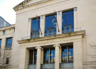
The workshop schedule included a Thursday afternoon public site walk beginning at the U.S. Custom House. That November 12 event has passed; it is not an invitation for this weekend. The sources reviewed for this article do not establish a final approved design resulting from the workshop.
What is already in the city’s vision
The project website says City Council adopted the Union Pier component of Charleston’s Comprehensive Plan on April 8, 2025. That vision calls for continuous public waterfront access, views toward the water, public gathering places and a mix of uses, including housing and opportunities for local businesses.
The site has long served port and cruise operations. Beemok Capital, Ben and Kelly Navarro’s family office, plans to acquire it from the South Carolina Ports Authority, according to the project website. Its description still presents that acquisition as planned; this article does not announce a completed sale.
A November 10 city press release republished by Holy City Sinner names Charleston Moves, the Coastal Conservation League, Historic Charleston Foundation, the Preservation Society of Charleston and the Union Pier team as workshop co-sponsors alongside the city.
What residents should watch next
The distinction to watch is between a broad vision and the decisions that make it usable: where crossings go, how streets connect and which designs actually advance. This week’s workshop addresses those questions, but the available accounts do not supply a final route map or opening date.
For another aspect of the project, the Union Pier team is collecting dated, located flooding photos to compare its peninsula model with observed conditions. That is a separate input opportunity, not evidence that a particular drainage design has been approved.
See more Charleston coverage.
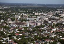
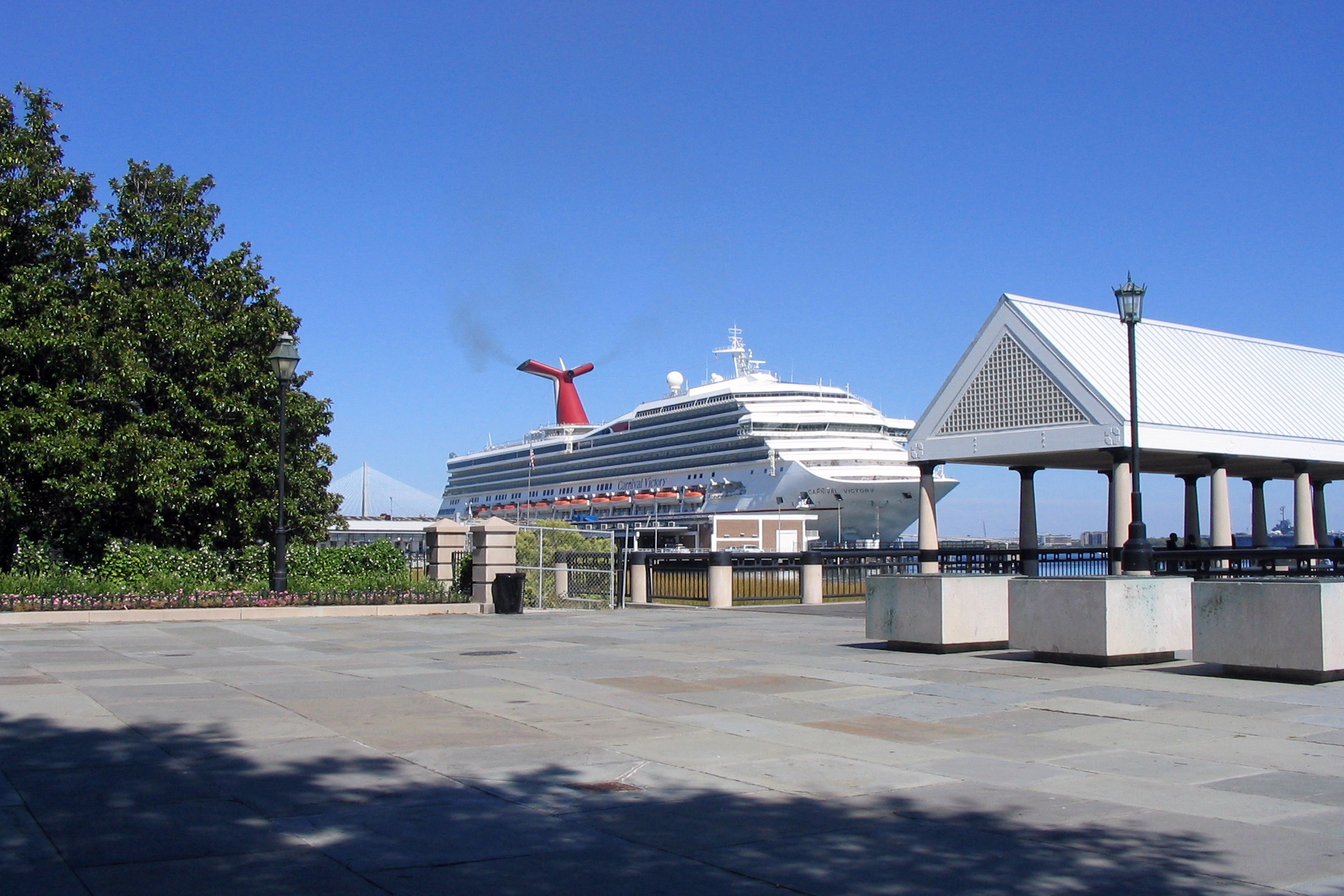
Image credit: JonathanLamb / Wikimedia Commons, CC BY 3.0. October 15, 2006 file photo from Waterfront Park toward Union Pier; not current conditions or a rendering.