
Nashville is expanding a traffic-sensor system to 100 additional intersections, with technology that could give a slower pedestrian more time to finish crossing.
Ouster announced the new contract November 17, bringing its contracted Nashville network above 200 intersections and roadway locations. Contracted locations should not be read as a count of installations already operating.
The company’s BlueCity system combines laser-based sensing, known as lidar, with software that analyzes movement. Ouster describes possible uses including extending pedestrian crossing clearance and changing turn restrictions when someone is crossing. These are capabilities, not a guarantee that every intersection will use every feature.
Why this matters on Nashville streets
Crossing time is a practical issue: the important measure for a person on foot is whether there is enough time to reach the other side. For drivers, the same intersection has to manage turns, waiting traffic and people entering the crosswalk.
The question for residents is how the equipment will change those everyday movements—and whether the city can demonstrate an improvement once it is in use.
Nashville’s December 2024 grant announcement supplies important background. Metro received $10 million for the second phase of its Leveraging Advanced Data to Deliver Multimodal Safety initiative, with work focused on Nolensville Pike and continued engagement in North Nashville.
The city described using lidar to evaluate near misses and repeatedly measure whether interventions work. It prioritized people walking and cycling along the High Injury Network identified in Nashville’s Vision Zero plan.
That older grant announcement establishes the program’s purpose. It is not a new $10 million award this week or an exact price tag for Tuesday’s contract.
What is still missing
Ouster calls the new agreement a multimillion-dollar contract but does not disclose an exact amount in its announcement. The release also does not give residents a complete list of the 100 new intersections or a site-by-site activation schedule.
Those details will matter more for planning a particular walk or commute than the network-wide total. Residents should not assume their nearest signal has changed because an expansion has been announced.
For now, the concrete development is the larger contracted network. The next useful information will be where the additions go, when they activate and what the city’s measurements show afterward.
For another transportation resource, see GlobalFlare’s guide to Nashville’s Journey Pass eligibility and registration.
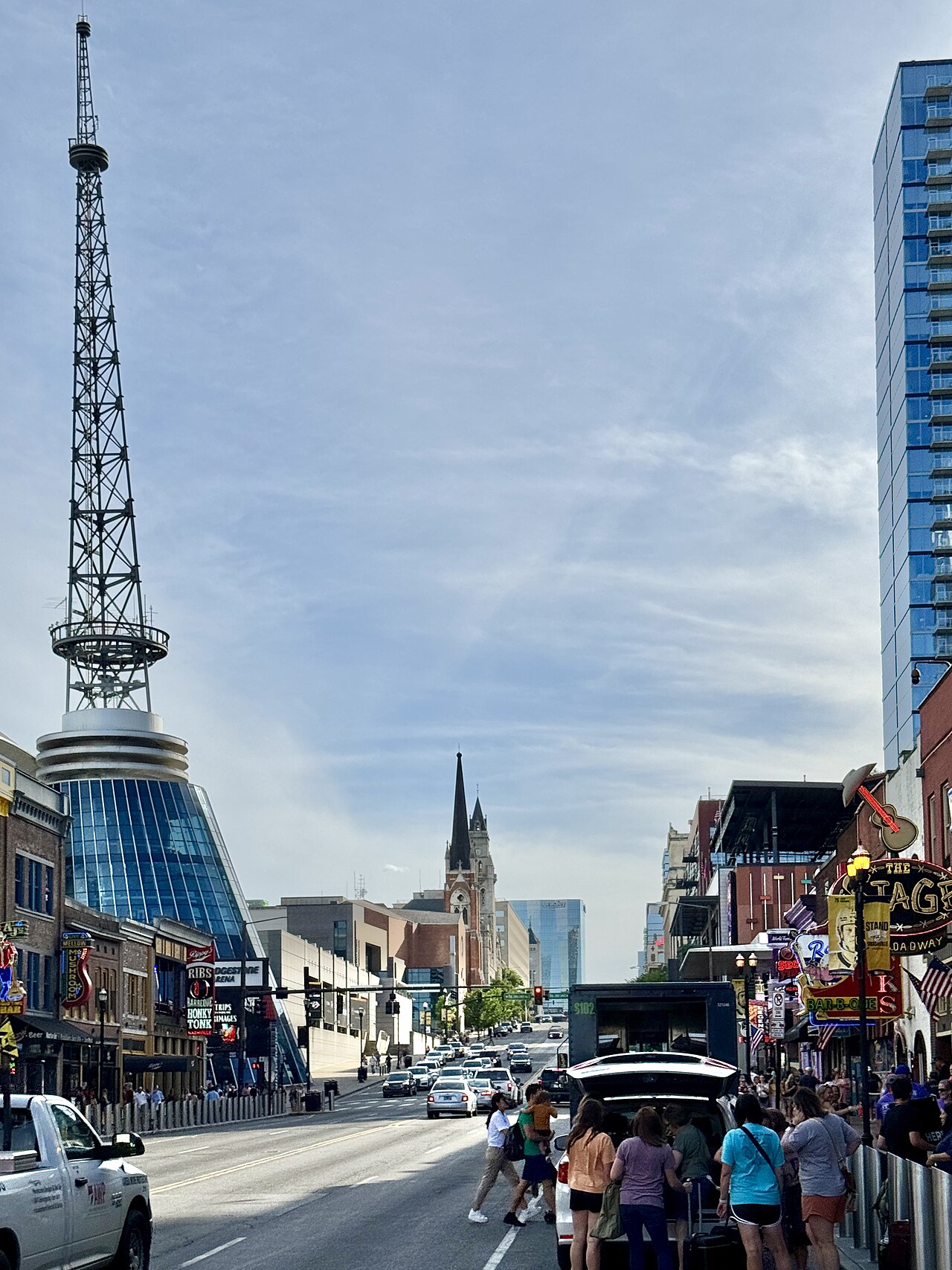
Image credit: w_lemay (Warren LeMay), Broadway, Nashville, TN, May 28, 2024; resized, CC BY-SA 2.0. File photo showing downtown street activity, not the newly announced sensor installation.